|
|
|
|
|
|
|
|
|
|
|
|
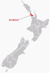
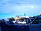
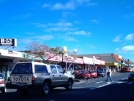
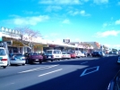
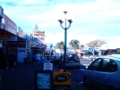
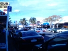
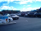
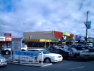
Auckland - HighburyNorth Island - New Zealand
New Zealand facts & history in brief
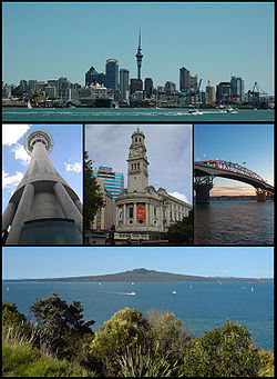
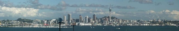
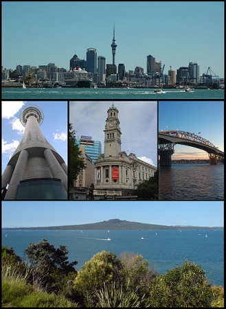
 Auckland The Auckland metropolitan area, in the North Island of New Zealand, is the largest and most populous urban area in the country with over 1.4 million residents, 31 percent of the country's population. Demographic trends indicate that it will continue to grow faster than the rest of the country. Increasingly cosmopolitan, Auckland also has the largest Polynesian population of any city in the world, and has seen many people of Asian ethnicity move there in the last two decades. In Māori Auckland's name is Tāmaki-makau-rau, or the transliterated version of Auckland, Ākarana. Auckland lies between the Hauraki Gulf of the Pacific Ocean to the east, the low Hunua Ranges to the south-east, the Manukau Harbour to the south-west, and the Waitakere Ranges and smaller ranges to the west and north-west. 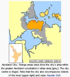 It is one of the few cities in the world to have harbours on two separate major bodies of water.
Auckland City (informally Central Auckland) is the city and local authority covering the Auckland isthmus and most of the islands of the Hauraki Gulf, in the North Island of New Zealand. Auckland City is the most populous city in the country, with a population of 438,100 (June 2008 estimate). It lies in the Auckland Region, and the Auckland Regional Council is also based in Auckland City. Auckland City is, together with its neighbouring cities, part of the Greater Auckland area. As the term 'Auckland' may refer to the local authority alone, to the whole metropolitan area, or even to the broader region, this may lead to ambiguity, since people from other parts of New Zealand or from overseas often do not draw any distinction. The mainland part of Auckland City lies on an isthmus. The Waitemata Harbour, which opens to the Hauraki Gulf, separates the isthmus from North Shore City and north. The Manukau Harbour, which opens to the Tasman Sea, separates the isthmus from Manukau City and the south. Being part of the Auckland volcanic field, much of the isthmus is mantled with volcanic rocks and soils, and several prominent scoria cones dot the isthmus. Many Hauraki Gulf islands are part of Auckland City. The islands of the inner gulf include Rangitoto, Motutapu, Browns Island, Motuihe, Rakino, Ponui and Waiheke, while the outer gulf islands include Little Barrier, Great Barrier and the Mokohinau Islands. A significant portion of Auckland's CBD and of the Auckland waterfront is built on land reclaimed over the last 100 years. Substantial development of such under-utilised areas to the west of the CBD has been projected, with large businesses beginning to relocate there as of 2006. Auckland - Tāmaki-makau-rau (Māori) Nickname(s): City of Sails, Queen City (now rarely used) Coordinates: 36°51'S 174°47'E Country: New Zealand Island: North Island Region: Auckland Territorial authorities (2009): Auckland City, Manukau City, Waitakere City, North Shore City, Papakura District, Rodney District (part), Franklin District (part) Settled by Māori: c. 1350 Settled by Europeans: c. 1840 Area: - Urban 1,086 km² (419.3 sq mi) Population: (June 2008 estimate) - Urban 1,313,200 - Urban Density 1,209.2/km² (3,131.8/sq mi) - Demonym: Aucklander Time zone: NZST (UTC+12) - Summer (DST) NZDT (UTC+13) Area code(s): 09 Local iwi: Ngāti Ākarana Website: http://www.aucklandnz.com/
About Wikipedia Disclaimers
2009
Site Index Back to Top Photos Index Thanks for coming, I hope you
have enjoyed it, will recommend
it to your friends, and will come
back later to see my site developing
and expanding.
|


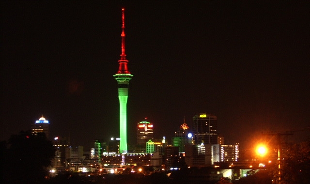
 Skyline from Symonds street.
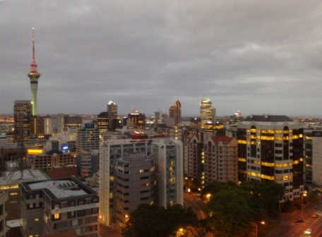
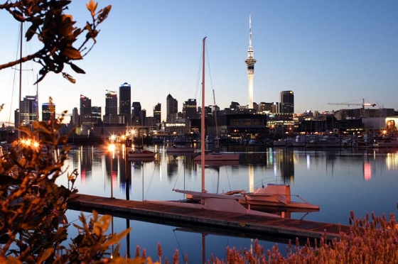 Auckland - From Westhaven.
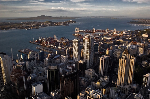
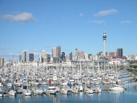 City of Sails - Westhaven Marina.
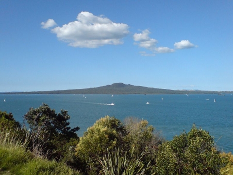 Rangitoto island from North Head.


