|
|
|
|
|
|
|
|
|
|
|
|
RotoruaNorth Island - New ZealandNew Zealand facts & history in brief New Zealand Map 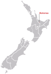 Location of Rotorua in
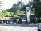
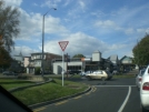
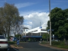
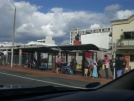
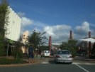
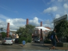
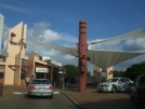
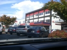
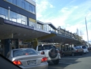
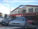
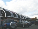
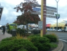
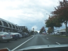
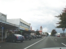
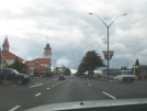
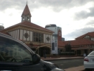
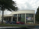
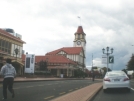
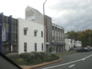
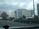
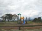
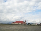
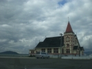
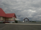
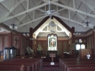
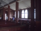
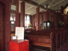
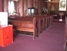
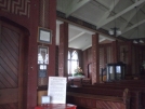
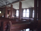
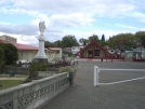
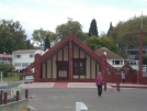
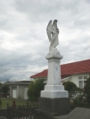
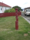
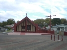
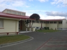
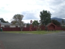
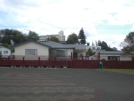
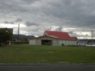
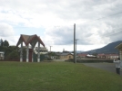
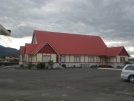
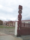
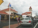
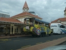
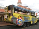
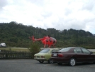
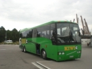
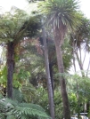
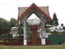
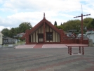
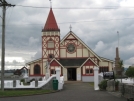
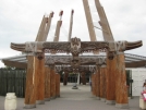
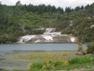
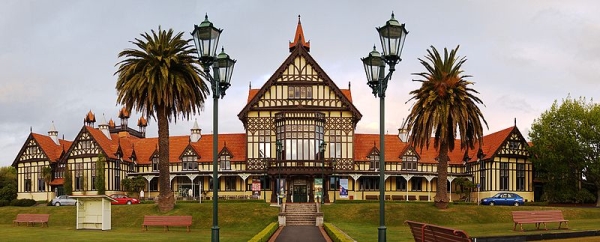
 New Zealand. Rotorua Rotorua (from Māori: Te Rotorua-nui-a-Kahumatamomoe, "The second great lake of Kahumatamomoe") is a city on the southern shores of the lake of the same name, in the Bay of Plenty region of the North Island of New Zealand. The city is the seat of the Rotorua District, a territorial authority encompassing the city and several other nearby towns. Rotorua city has an estimated permanent population of 55,600, with the Rotorua district having a total estimated population of 68,000. The city is in the heart of the North Island, just 60 kilometres (37 mi) south of Tauranga, 80 kilometres (50 mi) north of Taupo, 105 kilometres (65 mi) east of Hamilton, and 230 kilometres (140 mi) southeast of Auckland. Rotorua is a major destination for both domestic and international tourists, with the tourism industry being by far the largest industry in the district. The city is known for its geothermal activity, with number of geysers, notably the Pohutu Geyser at Whakarewarewa, and hot mud pools located in the city. This thermal activity owes itself to the Rotorua caldera on which the city lies. Rotorua is also a top adventure destination and is New Zealand's Maori cultural heartland. Rotorua city is renowned for its unique sulphur aroma, which is caused by the geothermal activity releasing hydrogen sulphide into the atmosphere. Rotorua is also home to the largest tertiary institute outside of the university centres, Waiariki Institute of Technology. Rotorua has its own regional television channel, TV Rotorua. History The name Rotorua comes from Māori, the full name being Te Rotorua-nui-a-Kahumatamomoe; roto means lake and rua two - Rotorua thus meaning 'Second lake'. Kahumatamomoe was the uncle of the Māori chief Ihenga, the ancestral explorer of the Te Arawa. It was the second major lake the chief discovered, and he dedicated it to his uncle. It is the largest of a multitude found to the northeast of the city, all connected with the Rotorua Caldera and nearby Mount Tarawera. The name can also mean the equally appropriate 'crater lake'. The area was initially settled by Maori of the Te Arawa iwi. The first European in the area was probably Phillip Tapsell who was trading from the Bay of Plenty coast at Maketu from 1828. He later married into Te Arawa and became highly regarded by them. Missionaries Henry Williams and Thomas Chapman visited in 1831 and Chapman and his wife established a mission at Te Kouto in 1835. This was abandoned within a year but Chapman returned in 1838 and established a second mission at Mokoia Island. The lakeshore was a prominent site of skirmishes during the New Zealand Wars of the 1860s. A "special town district" was created in the 1883, in order to promote Rotorua's potential as a spa. The town was connected to Auckland with the opening of the Rotorua Branch railway and commencement of the Rotorua Express train in 1894, resulting in the rapid growth of the town and tourism from this time forward. Rotorua was established as a borough in 1922 and declared a city in 1962 before becoming a District in 1979. Geography Geothermal areas Thermal activity is at the heart of much of Rotorua's tourist appeal. Geysers and bubbling mud-pools, hot thermal springs and the Buried Village (Te Wairoa) so named after it was buried by the 1886 Mount Tarawera eruption are within easy reach of the city. Kuirau Park, to the west end of the central city, is also remarkable hot bubbling mud pools dot the park, lending a surreal air to the setting. Visitors can soak their feet in hot pools. Rotorua is nicknamed Sulphur City, because of it's thermal activity. The sulphur gives off an odour unique to Rotorua that adds to the visitor experience. The especially pungent smell in the central-east 'Te Ngae' area is due to the dense sulphur deposits located next to the southern boundary of the Government Gardens, in the area known as 'Sulphur Point'. Lakes With 17 lakes, the Rotorua region is an aquatic paradise. Fishing, waterskiing, swimming and other water activities are popular in summer. The lakes are also great event venues; Rotorua hosted the 2007 World Waterski Championships and Lake Rotorua was the venue for the World Blind Sailing Championships in March 2009. Lake Rotorua is also used as a departure and landing point for float planes. Other activities Rotorua is also home to botanical gardens and interesting historic architecture. Known as a spa town and major tourist resort since the 1800s, many of its buildings hint at this history. Government Gardens, close to the lakeshore at the eastern end of the town, are particularly worthy of note. Another of Rotorua's attractions is the mountain biking. Whakarewarewa (also known as the "Redwoods") Forest has been described as 'the Disneyland of mountain biking' and has some of the best mountain bike trails in New Zealand. Rotorua hosted the UCI Mountain Bike and Trials World Championships, in August 2006. Transport Road Rotorua is served by State Highways 5, 30, and 30A, and the Thermal Explorer Highway touring route, with State Highways 33 and 36 terminating on the outskirts of the city. State Highway 5, running concurrently with the Thermal Explorer Highway, is the main north-south route through Rotorua, bypassing the city centre to the west. North of the city at Ngongotaha, State Highway 36 splits off to provide a route to Tauranga via Pyes Pa, while State Highway 5 turns westward, connecting to State Highway 1 at Tirau and providing the main route into Rotorua from Hamilton and Auckland. To the south, State Highway 5 provides the main route into the city from Taupo, Hawke's Bay, Manawatu, and Wellington. State Highway 30 runs southwest to northeast through the city. The route from Tokoroa, Waitomo Caves and Taranaki enters the city in the southwest (running concurrently with State Highway 5), before crossing the southern suburbs to the shore of Lake Rotorua east of the city centre. It then runs through the suburb of Te Ngae, before splitting off State Highway 33 to provide an eastern route to Tauranga via Te Puke. State Highway 30 then turns eastwards, and connects to the eastern Bay of Plenty, and the Gisborne region. State Highway 30A runs northwest to southeast, connecting State Highways 5 and 30 with each other via the city centre. Air Rotorua Regional Airport is located 9 kilometres (5.6 mi) northeast of the city centre, off State Highway 30. Air New Zealand and Qantas provide daily turbo-prop flights between Rotorua and Auckland, Wellington, and Christchurch airports, with a daily 737 flight between Rotorua and Christchurch. Work is underway to increase the main runway length to allow direct Airbus A320 flights to and from Australia. Rail Rotorua is connected to the rail network by the Rotorua Branch from Putaruru. Until 2001, passenger trains ran from Auckland to Rotorua via Hamilton daily, terminating north of the city centre at Koutu (the original station, at the corner of Fenton and Amohau Streets, was closed in 1989). However, owing to the increase of road freight and private transport, and the fact the station is a 15-minute walk from the city centre, the passenger services stopped in October 2001. The line is currently disused beyond Putaruru.
About Wikipedia Disclaimers
2009
Site Index Back to Top Photos Index Thanks for coming, I hope you
have enjoyed it, will recommend
it to your friends, and will come
back later to see my site developing
and expanding.
|


