|
|
|
|
|
|
|
|
|
|
|
|
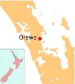
OrewaNorth Island - New Zealand
New Zealand facts & history in brief
Orewa
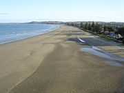
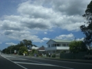
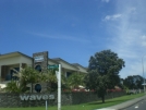
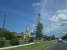
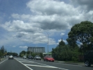
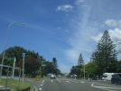
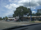
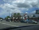
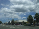
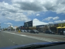
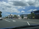
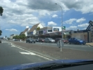
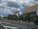
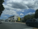
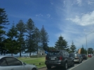
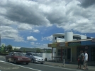
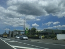
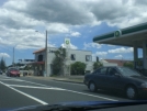
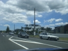
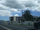
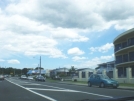
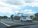
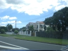
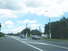
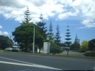
Orewa, a town in the North Island of New Zealand lies on the Hibiscus Coast, 30 kilometres north of Auckland City, and close to the base of the Whangaparaoa Peninsula. The population was 7,326 in the 2006 Census, an increase of 1,692 from 2001. It is a popular holiday destination. Orewa is also considered one of the fastest growing places in New Zealand and is one of the most expensive areas to buy a house in. Orewa lies on the east coast of the North Auckland Peninsula, within the Rodney District and lies on State Highway 1. The northern motorway currently ends just inland of Orewa. A 7.5 kilometre extension is currently under construction, with completion expected in 2009. This will extend the northern motorway to near Puhoi, and take State Highway One out of Orewa. The town achieved headlines on January 27, 2004 when Don Brash, then leader of the New Zealand parliamentary opposition National Party, gave the Orewa speech to the local Rotary Club branch. The speech raised many controversial views on race relations within New Zealand. Orewa beach is one of the longest and safest beaches in Auckland. Education Orewa District High School was founded in 1956. In 1974, the school was split into Orewa Primary School and Orewa College. Orewa North Primary School was founded in 1978, and another primary school opened at Red Beach to the south in 1988. Orewa College is a secondary (years 7-13) school with a decile rating of 9 and a roll of 1696. Orewa Primary School and Orewa North Primary School are contributing primary (years 1-6) schools, both with decile ratings of 8 and rolls of 214 and 320 respectively. All three schools are coeducational. Puriri Park In 2005 locally famous Puriri Park, at the foot of Eaves Bush, was sold for over $2,000,000. It was being subdivided in a $450 million development to form the community of Kensington Park to provide for the rapidly rising demand for housing in Orewa and the surrounding area. This upset some elderly locals as they regarded the old park as a popular place for people to enjoy their holidays and saw the development as a sign of further development to Orewa. However the developer went into receivership in September 2008 after completing less than 10% of the 750 homes planned.
All text is available under the terms of the GNU Free Documentation License (see Copyrights for details). About Wikipedia Disclaimers
2009
Site Index Back to Top Photos Index Thanks for coming, I hope you
have enjoyed it, will recommend
it to your friends, and will come
back later to see my site developing
and expanding.
|
||||||||||||||||||||||||||||||||||||||||||||||||||||||||||||||||||||||||||||||||

 36°34'S 174°42'E

