|
|
|
|
|
|
|
|
|
|
|
|
OpononiNorth Island - New Zealand
New Zealand facts & history in brief
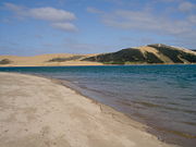
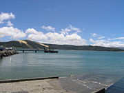
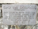
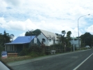
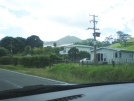
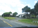
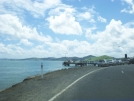
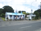
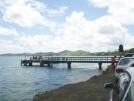
Opononi 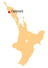 State Highway 12 runs through Opononi. Omapere lies to the south and Whirinaki lies to the north east. The combined population of Opononi and Omapere was 477 in the 2006 Census, a decrease of 120 from 2001. History Opo was a dolphin who played with children in the summer of 1955-56. There is a sculpture at her grave. Education Opononi Area School is a coeducational composite (years 1-15) school with a decile rating of 2 and a roll of 269.
All text is available under the terms of the GNU Free Documentation License (see Copyrights for details). About Wikipedia Disclaimers
2009
Site Index Back to Top Photos Index Thanks for coming, I hope you
have enjoyed it, will recommend
it to your friends, and will come
back later to see my site developing
and expanding.
|