|
|
|
|
|
|
|
|
|
|
|
|
HikurangiNorth Island - New Zealand
New Zealand facts & history in brief
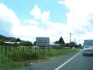
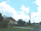
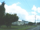
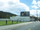
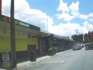
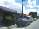
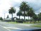
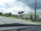
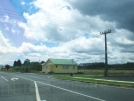
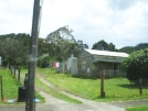
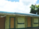
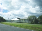
Hikurangi 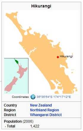 The city of Whangarei is 17 km to the south, and Kawakawa is 39 km northwest. The Glenbervie Forest is southeast of the settlement. State Highway 1 once passed through the town, but now bypasses it to the west. Mt Hikurangi is a volcanic dome rising 365 m to the west of the town. It is 1.2 million years old, and part of the Harbour Fault which also includes Parakiore near Kamo, and Parahaki in Whangarei. The population was 1,422 in the 2006 Census, unchanged from 2001. Hikurangi is a service town for the local dairy industry. History Twelve thousand acres of land at Hikurangi were purchased from local Maori by the District Commissioner of Lands in 1862. The land was considered desirable because it contained mature timber and high quality flax, and transport routes were established. The area became a timber milling centre with the establishment of a road to Whangarei in 1875, and the first of several sawmills soon after. Kauri gum-diggers were also active in the area. The town grew around local coal mines, which opened in 1890. The North Auckland railway line from Whangarei reached Hikurangi in 1894. 4.2 million tons of coal were extracted. Flooding was a problem for the mines. During a nationwide coal-miners' strike in 1931, the Wilson Colliery Company closed their mine and deliberately flooded it. The miners formed a company and bought the mine, but it closed two years later because there were few orders for coal during the Great Depression. Three brothers were killed by black damp at one mine in 1933. The last mine closed in 1971. The Hikurangi Co-operative Dairy Company was formed in 1904. It established a dairy factory and operated a fleet of trucks to collect cream but also to deliver fertiliser and general goods to farmers. The factory was replaced by a new building in the 1950s. The company amalgamated with the Northland Co-operative Dairy Company in 1985, and the factory closed. Six teenagers were killed in 1930 when a train hit a bus. Hikurangi was administered by the Hikurangi District Roads Board until the formation of the Hikurangi Town Board in 1908. The Board became the Hikurangi Town Council in 1955. In 1989, they amalgamated with the Whangarei City Council and Whangarei County Council to form the Whangarei District Council. Limestone has been quarried at Hikurangi since the early 20th century. The quarry still supplies limestone to the cement works at Portland. Education Hikurangi School is a coeducational full primary (years 1-8) school with a decile rating of 1 and a roll of 198. The first public school in Hikurangi opened in 1883 at View Road. It moved to a site at Valley Road during World War I, and in 1973 was replaced by the current school.
All text is available under the terms of the GNU Free Documentation License (see Copyrights for details). About Wikipedia Disclaimers
2009
Site Index Back to Top Photos Index Thanks for coming, I hope you
have enjoyed it, will recommend
it to your friends, and will come
back later to see my site developing
and expanding.
|