|
|
|
|
|
|
|
|
|
|
|
|
|
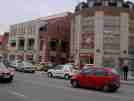
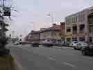
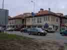
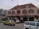
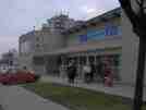
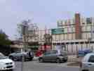
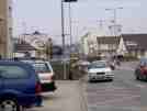
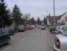
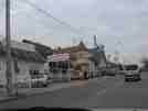
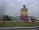
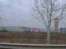
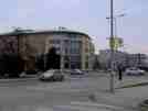
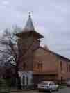
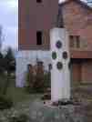
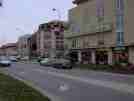
Hungary, facts and history in brief Budapest, facts and history in brief ÉrdHungaryÉrd Érd is a city with county rights in Pest county, Central Hungary, in the Budapest agglomeration. Country: Hungary County: Pest Area: 60.54 km² Population (2005): 60,546 Postal code: 2030 Area code: 23 Coordinates: 47.37837° 18.92200° The area has been inhabited since ancient times. Archaeological findings indicate that prehistoric men lived here 50.000 years ago. Érd itself was first mentioned in documents in 1243. The name comes either from the word erdő ("forest") or from ér ("stream"). During the Ottoman occupation of Hungary Érd was captured by the Turks in 1543, after the castle of Székesfehérvár fell. The Turks built a motte castle and a djami (mosque) here. In these times the place was called Hamzsabég. In 1684 the army led by Charles of Lorraine defeated the Turks near Érd. In 1776 Érd became an oppidum (town). It is possible that it already had been oppidum before the Ottoman occupation. In the early 20th century Érd became the property of the Károlyi family. The town grew, but remained mainly an agricultural town until 1972, when several new facilities were built and the touristic value of Érd grew. Érd was the fastest-growing locality in Hungary between the 1991 and 2001 censuses (up 30.6%). On November 7, 2005 the Parliament decided that Érd will be granted the rank of city with county rights from the date of the next council election in autumn 2006. Contemporary Érd is known for being one of the most affluent communities in Hungary, with some of the country's wealthiest citizens residing there. Tourist sights
Érd is twinned with: Reghin, Romania Poynton, United Kingdom Lubaczow, Poland External links Official site (Hungarian only) All text is available under the terms of the GNU Free Documentation License (see Copyrights for details). About Wikipedia Disclaimers Érd 2006
Site Index Back to Top Photos Index Thanks for coming, I hope you
have enjoyed it, will recommend
it to your friends, and will come
back later to see my site developing
and expanding.
|