
Nicosia/Lefcosia Green Line
Excerpted from Wikipedia, the free encyclopedia.

Map of Cyprus
Nicosia, known locally as Lefkosia or Lefkosa
(Turkish), population 200,686 (2001), is the
capital of Cyprus and of the unrecognized
Turkish Republic of Northern Cyprus.
Nicosia is located at 35°10' north,
33°21' east (35.1667, 33.35). [1]
(There have recently been some moves to use
the Greek name Lefkosia as the official English
name, but this has not been generally accepted.)
Located on the Pedieos river, Nicosia is the
center of an administrative district, and it
is currently the only divided capital city
in the world, with the northern (Turkish) and
southern (Greek) portions divided by the
"Green Line", a demilitarized zone maintained by
the United Nations, although unlike Cold War
East and West Berlin, few use the
terms North Nicosia and South Nicosia.
The city is a trade center and manufactures
textiles, leather, pottery, plastic, and
other products.
Copper mines are nearby.
Nicosia is the seat of the
University of Cyprus (UCY).
History
Known as Ledra or Ledrae in ancient times,
the city was the seat of the kings of Cyprus
from 1192, became a Venetian possession
in 1489, and fell to the Turks in 1571.
Nicosia was the scene of extreme violence
in the period just prior to Cypriot
independence in 1960.
Since the Greek supported coup and Turkish
invasion which followed it in 1974, part of
the city's northern sector has been inside
the boundary of a United Nations buffer zone.
The tombs of the Lusignan kings are in
the former Cathedral of St. Sophia,
now a mosque in the northern sector.
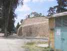
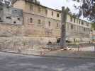
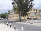
The city also has well-preserved Venetian
fortifications, built in the 16th century,
which encircle the old,
medieval part of the city.
External links

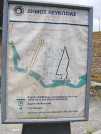
The term Green Line is often used to refer to the
line of demarcation that divides the Cypriot
capital of Nicosia into the southern Greek
Cypriot region and the northern Turkish Cypriot
region that was created following the 1974
invasion by Turkey (which refers to the invasion
as the 1974 Peace Operation) that created the
Turkish Republic of Northern Cyprus; this line
is also referred to as the 'Attila Line' on
some maps (named after the Turkish code-name
for the 1974 Military
Intervention: Operation Attila).

This page was retrieved and condensed from
(http://en.wikipedia.org/wiki/Larnaca) August 2005
All text is available under the terms of the
GNU Free Documentation License (see
Copyrights for details).

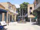
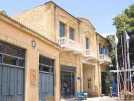
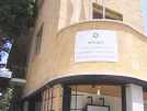
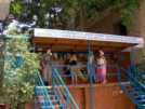
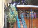
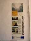
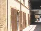
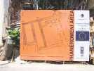
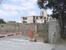
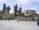
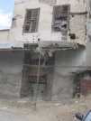
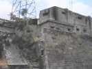
Hui Chin and I Enjoyed our stay in Nicosia, very friendly place.

You can click on these photos for an enlargement.
2005
 |
 |
 |
 |
| Nicosia/Lecosia Green Line |
Nicosia/Lecosia Green Line |
Nicosia/Lecosia Green Line |
Nicosia/Lecosia Green Line |
 |
 |
 |
 |
| Nicosia/Lecosia Green Line |
Nicosia/Lecosia Green Line |
Nicosia/Lecosia Green Line |
Nicosia/Lecosia Green Line |
 |
 |
 |
 |
| Nicosia/Lecosia Green Line |
Nicosia/Lecosia Green Line |
Nicosia/Lecosia Green Line |
Nicosia/Lecosia Green Line |
 |
 |
 |
 |
| Nicosia/Lecosia Green Line |
Nicosia/Lecosia Green Line |
Nicosia/Lecosia Green Line |
Nicosia/Lecosia Green Line |
 |
 |
 |
 |
| Nicosia/Lecosia Green Line |
Nicosia/Lecosia Green Line |
Nicosia/Lecosia Green Line |
Nicosia/Lecosia Green Line |

Site
Index
Back to Top
Photos Index
Thanks for coming, I hope you
have enjoyed it, will recommend
it to your friends, and will come
back later to see my site developing
and expanding.
I'm trying to make my pages
enjoyable and trouble free for everyone,
please let me know of any mistakes
or trouble with links, so I can
fix any problem as soon as possible.
These pages are best viewed with monitor
resolution set at 640x480 and kept simple
on purpose so everyone can enjoy them
across all media and platforms.
Thank you.
You can e-mail me at
Webmaster

|